Hamming in the hills
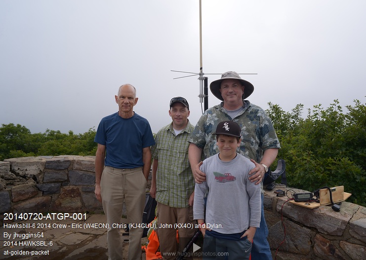
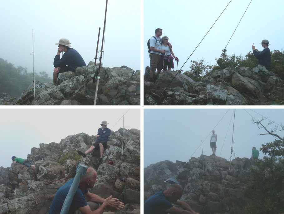
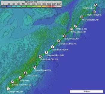
Once again members of team NoVa were hamming in the hills in support of Bob Bruninga’s annual Appalachian Trail Golden Packet APRS exercise. As usual we manned station 6 of the 15 station chain with tactical callsign HWKSBL-6.

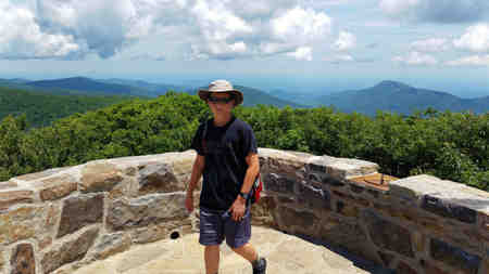
Note that station 6 has moved around three locations over the years including White Rock Cliff along the Tuscarora Trail, Stony Man Mountain and Hawksbill Mountain.
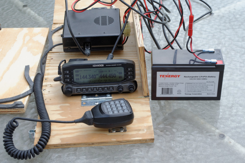
We brought similar gear in years past including this Kenwood TM-D710A with aftermarket GPS…
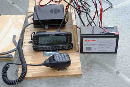
The complete list:
- Kenwood D710 plus aftermarket GPS with the “iffy” stock mic featuring the hopelessly ridiculous RJ connectors used for a “stretching” mic cord,
- 10 AH LiFePO battery (so light… so nice),
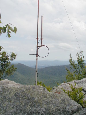
- Diamond X50 dual band antenna (silly design with the new shorter radials, but very portable, somewhat safe around humans and it functions) – on sale at HRO last week,
- Speaker stand placing the antenna’s <cough> radials </cough> just above poke-eyes-out level for most humans.
Seven year setup procedure
Participating in the ATGP since 2009 has taught us much. We’ve honed our gear list to bare essentials making station setup as easy as…
- Hike 30 minutes,
- Reach top and admire views (WX was good at first),
- Unstow antenna pre-attached to the speaker stand top portion and place on tripod bottom portion,
- Unpack radio and battery,
- Connect battery and antenna cables,
- Power-on and load PM5 config (same config used for years),
- Done… wait.
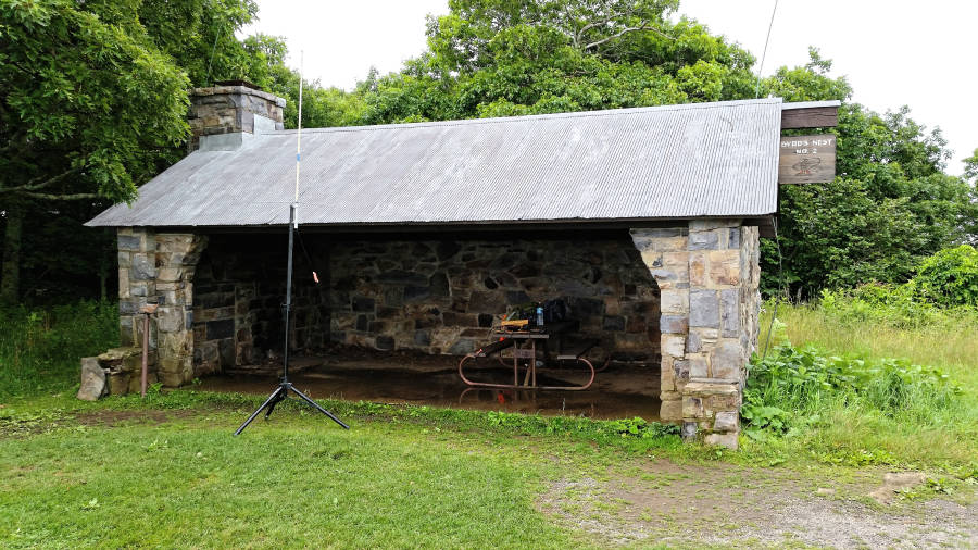
Behind the Byrd’s Nest #2 shelter
We initially setup the APRS station slightly behind the same shelter used during last year’s activation of Hawksbill Mountain. Note the newer version of the X50 has UHF radials unlike the older example of the same model used in previous years.
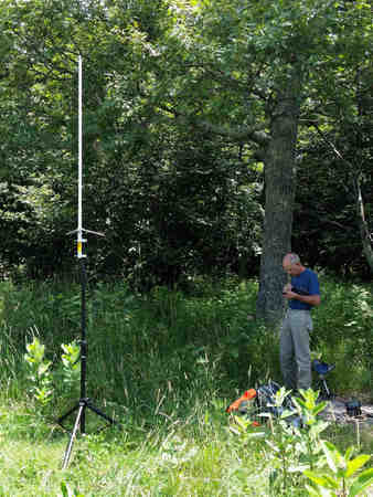
The move to behind the shelter was to regain packet flows to my home station Igate which was blocked by the shelter last year. As well this secluded position kept us away from the large crowds that enjoy Hawksbill mountain. W4EON is seen above checking aprs.fi for evidence of APRS-IS activity at my KX4O-10 Igate. In case you’re wondering, station 7 and my Igate are straight through those trees. The figure below highlights the general link directions south, north and a bit more east towards my home.
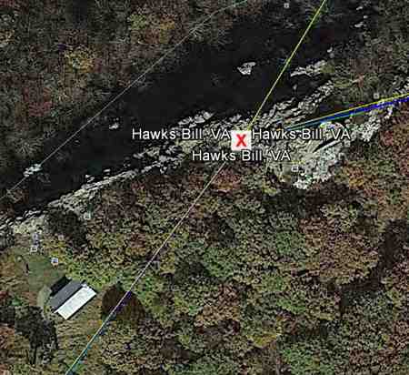
You can see the Byrd’s Nest #2 shelter lower left and the platform near the red X. The X isn’t marking exactly where our station ever was, but gives a good heads up view of where the RF links need to go.
W4EON did confirm a packet or two made it through my Igate and VHF APRS packets were making it north and south quite well. UHF voice to the north was functional as well, but no such luck with the southern station. Therefore, despite the crowds, we moved the station to the platform at the very top of Hawksbill Mountain and bore witness to incredible views…
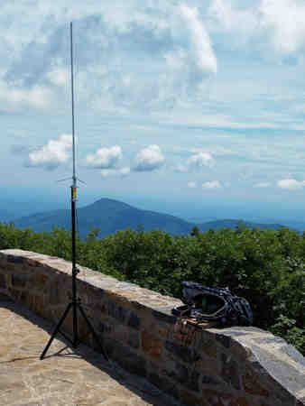
As seen above, we keep this station pretty simple. That’s a commercial speaker stand under the antenna. The woefully short radials on the Diamond X50 still keep eyeballs off the tips… a good thing. The battery and radio are sheltered by the backpack used to carry them up the hill.
Result? Many more packets made it to my Igate and voice connectivity to the southern station was established, but just barely at 1 bar of signal meter level. Good enough for voice contacts and 1200 packet, but what about 9600.
9600 bps test a complete success
Since 2009 the Golden Packet exercise used 1200 bps exclusively. This year Bruninga added a 9600 test to the itinerary. This is easy to do with the Kenwood gear with its builtin 1200/9600 TNC. A quick change of a menu item and the existing daisy chain of stations were all passing packets at the faster speed. No degradation was observed at our station. Of course my Igate was no longer useful as it was set to 1200 before I left for the mountains and could not decode the faster packets – no surprise.
Conclusion
Murphy prevented establishment of the full 15 station chain from Georgia to Maine stranding station 1 in the south and 14-15 of the northern stations. That said, the 9600 speed check success made this an overall success.
